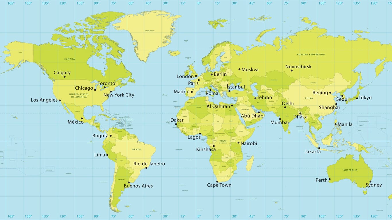
 World map: Using longitude and latitude, locations on the earth’s surface can be precisely determined. (Source: FrankRamspott/Getty Images)
Every point on earth can be determined using its longitude and latitude. You can find out how this works here.
Around 15,700 kilometers from New York to Singapore and almost 19 hours of flight time: That’s how long the longest non-stop flight in the world currently takes. Without a global coordinate system, orientation over such long distances would be impossible.
Latitudes divide the world into north and south
Because the Earth rotates on its own axis, there are two rigid points of rotation: the geographic north and south poles.
The line around the globe centered between the poles defines the equator . It divides the earth into a northern and southern hemisphere.
All lines that run parallel to the equator are called parallels of latitude . They range from 90° North (North Pole) to 90° South (South Pole). The equator is assigned the latitude 0°.
Lines of longitude divide the world into east and west
Lines of longitude are an imaginary line between the north and south poles . They always intersect the lines of latitude at right angles. In 1884 it was determined that the longitude running through Greenwich near London , the so-called prime meridian , divided the world into 180 west and 180 east longitude.
GPS requires new coordinate system
Satellite-based navigation enables location information to be provided with meter precision. For this purpose, the WGS-84 coordinate system was introduced in 1984, which represents the earth’s surface in the best possible way and is now used on maps and in Google Maps .
On the Internet you will find numerous services and websites that provide longitude and latitude information as well as GPS coordinates for a location. The data can also be entered into Google Maps and converted accordingly. For Frankfurt am Main, for example, this is the latitude 50.1109 and the longitude 8.6821, the GPS coordinates are 50° 6′ 39.24 N 8° 40′ 55.56 E.
History: Sailors already depend on world maps
People already knew in ancient times that the earth is a sphere. But it was not until the (re)discovery of America in 1492 that cartography experienced its heyday. The location of the continents was known and their borders were measured with increasing precision by the sea powers England, Spain and Portugal . This is how the first detailed world maps were created.
The ship voyages across the world’s oceans lasting several months were nevertheless a risky venture, because navigation with a sextant and compass required a lot of experience. It was only the German cartographer Gerhard Mercator who managed to create a map of the world in 1569 , which was to be of enormous importance for seafaring. The Mercator projection named after him is a conformal image of the Earth with longitude and latitude .From now on, captains could plot their route on the map and only had to determine the angle between the earth’s surface and the position of the sun in order to maintain their course.
